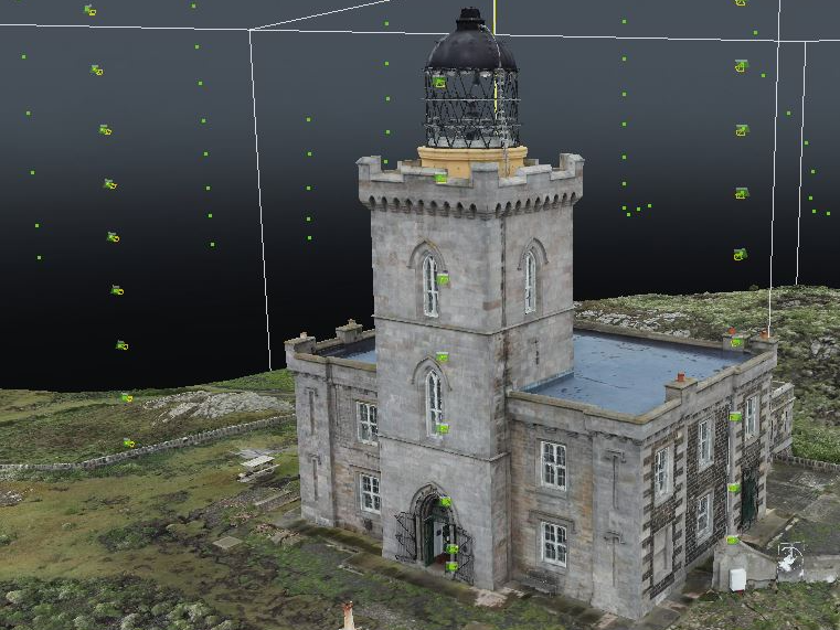
Photogrammetry is an image based modelling technique. Using cameras to collect data remotely, generally in the visual light spectrum, but the same techniques can be used in other wavelengths (Thermal, NDVI and multispectral).
Industry Drones uses photogrammetry to make accurate and realistic digital twins of structures and large area land surveys. We process this information to gain additional outputs from measured surveys to topological surveys.

