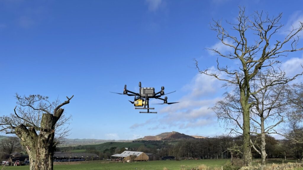
What is LiDAR? Lidar is an acronym for “Light Detection And Ranging.” It is an active sensor which fires out pulses of laser light waves, a sensor then registers the reflection of these pulses as they bounce off nearby objects and precisely calculates the 3D location of these objects. The end result is a precise 3D model of the area surveyed. LiDAR is a method of remote sensing, obtaining measurements without physical contact.

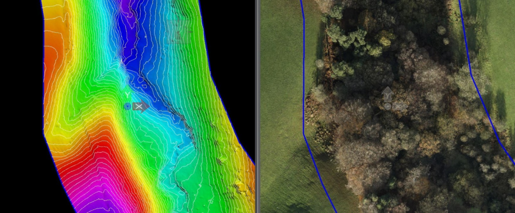
One of the main advantages with LiDAR is the ability to take measurements through vegetation, this means it is possible to take accurate measurements of ground level below forests etc. The LiDAR data collected is used to create a DTM (Digital Terrain Model) or DEM (Digital Elevation Model) these are highly accurate and can be used to make precise maps. LiDAR has the advantage over other survey types as it is an active sensor, thus low light levels are not an issue and flights can happen anytime of day.
A LiDAR survey can be used to conduct large scale surveys without the necessity of removing vegetation and thus protecting wildlife habitat from unnecessary destruction.
Survey applications
- Construction and maintenance monitoring of roads and other assets.
- Planning and design – accurate maps of the terrain enabling design without disruptive vegetation clearance.
- Geological surveys- accurate land mapping, very useful to monitor ground changes, landslips, erosion
- Hydrographic surveys – modelling water flow
- Forestry management – tree growth, stem location, changes to canopy, carbon calculations
- Railways- assessing asset health.

