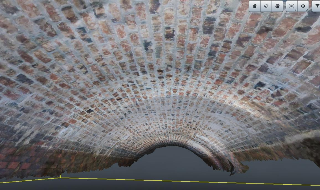
Water and wastewater infrastructure requires regular condition assessment, our innovative solution can collect visual and also geolocation information for both maintenance of these structures and also for construction. We can now undertake these challenging inspections with remote sensing options, removing personnel from confined space and dangerous environments.

Multi sensor data is processed, resulting in 3D point clouds and high definition images and video files. All of which is accessible via the online data platform via your web browser. This ensures you can always access your data, whether you are at the office, working from home, or out collecting new survey data.
