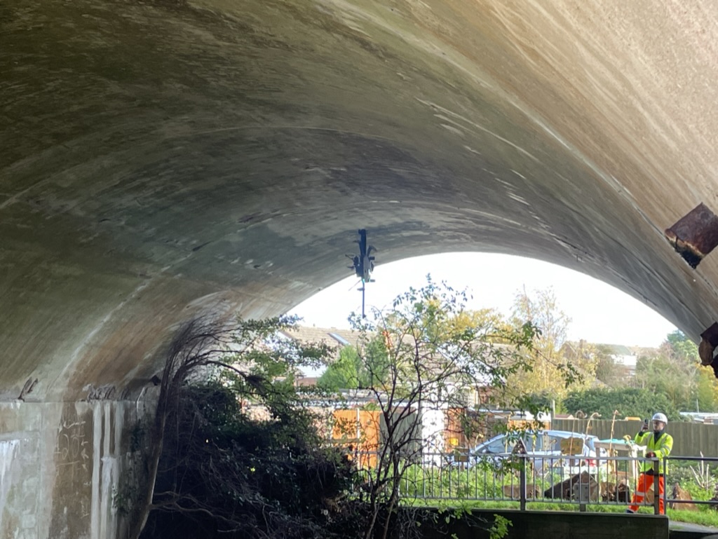
The application of Drones and Remote Sensing is almost limitless. We have been involved in countless unique usecase projects that do not fit into generic categories. Rather than try to detail each possible use in detail, below is a list of some projects we have been involved in. This hopefully demonstrates how drones can be extremely useful in many situations.
If you are interested wether drones can benefit your unique project, please get in touch to discuss.
Previous projects include:
- NDVI vegetaion index mapping to understand below ground conditions
- NDT (non destructive testing) touch drones – drones that can apply a sensor onto a surface
- Sonar data collection via drone
- Carbon mapping and quantifying – using sensors to map and verfify the volume of carbon within an area of vegetation

