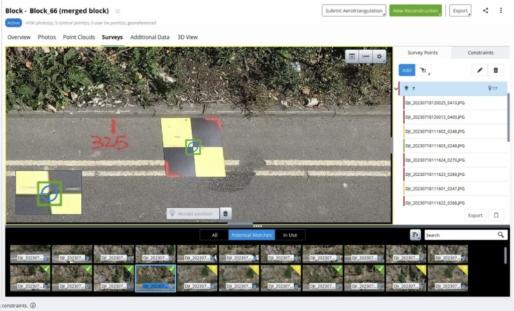
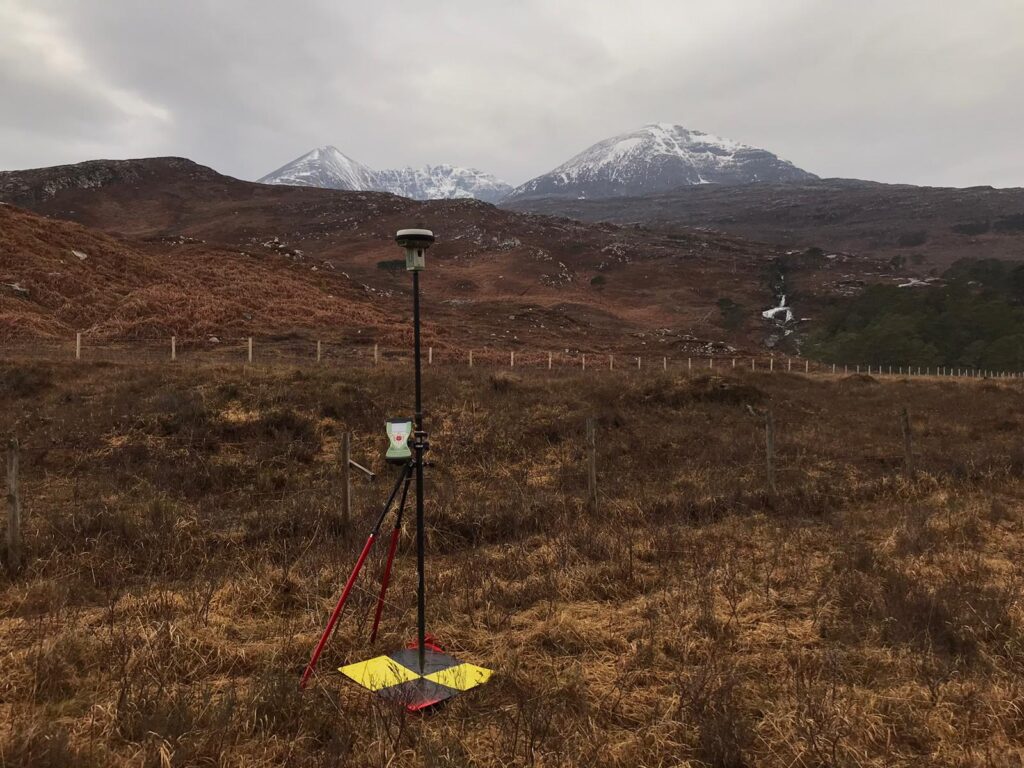
Ground control is vital for photogrammetry because it provides accurate and reliable reference points in the real world that can be used to accurately measure and reconstruct the 3D geometry of objects or landscapes from aerial or satellite imagery. By placing ground control points (GCPs) with known coordinates on the ground, photogrammetry software can accurately align and scale the imagery, resulting in more precise and georeferenced 3D models or maps. Without ground control, the accuracy and reliability of the photogrammetric outputs may be compromised, leading to errors and inaccuracies in the final results.

To accurately measure drone ground control with GPS GNSS (Global Navigation Satellite System), you can follow these steps:
1. Set up a base station: Start by setting up a base station with a known and accurately surveyed location. This base station should have a high-precision GNSS receiver. (or use NTRIP correction)
2. Configure the drone: Ensure that your drone is equipped with a GNSS receiver that supports real-time kinematic (RTK) or post-processing kinematic (PPK) techniques. These techniques enhance the accuracy of the GNSS measurements.
3. Establish a connection: Establish a connection between the base station and the drone’s GNSS receiver. This connection can be wireless or through a physical cable, depending on the equipment you are using.
4. Collect data: Fly the drone over the area where you want to establish ground control points (GCPs). Make sure the drone’s GNSS receiver is actively collecting data during the flight.
5. Mark GCPs: On the ground, physically mark the locations of the GCPs using easily identifiable markers, such as surveying targets or ground markers.
6. Post-processing (optional): If you are using PPK, you can download the GNSS data from the drone and the base station and process it later using specialized software to further enhance the accuracy of the measurements.
7. Survey GCPs: Using a high-precision surveying instrument, accurately measure the coordinates of the marked GCPs on the ground. This serves as a reference for the drone’s GNSS measurements.
8. Georeference the data: In post-processing or during data analysis, use the known coordinates of the GCPs and the GNSS data collected by the drone to georeference the imagery or 3D models generated from the drone data. This alignment ensures accurate spatial positioning.
By following these steps and utilizing GNSS technology, you can accurately measure drone ground control points and improve the overall accuracy of your photogrammetric outputs.

