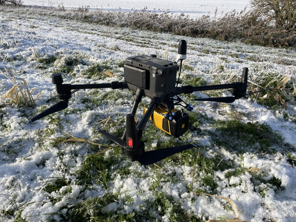
Are you looking for a cutting-edge solution to revolutionize your forestry operations? Look no further than the YellowScan Mapper+ Lidar Scanner. With its advanced technology and unparalleled accuracy, this state-of-the-art scanner is designed to optimize your forestry processes like never before.
The YellowScan Mapper+ Lidar Scanner is specifically tailored to meet the unique needs of the forestry industry. By harnessing the power of Lidar technology, it provides highly detailed and precise 3D mapping of forested areas, allowing you to gain valuable insights and make informed decisions.
Here’s why the YellowScan Mapper+ Lidar Scanner is the ultimate tool for forestry professionals:
1. Unmatched Accuracy: With its high-density point cloud data, the YellowScan Mapper+ captures every detail of the forest environment, including tree height, density, and structure. This level of accuracy empowers you to make informed decisions regarding forest management, resource allocation, and planning.
2. Efficient Data Collection: Say goodbye to time-consuming manual surveys. The YellowScan Mapper+ Lidar Scanner automates the data collection process, significantly reducing the time and effort required. It covers large areas quickly and efficiently, allowing you to focus on analyzing the data rather than collecting it.
3. Enhanced Safety: Safety is paramount in forestry operations. The YellowScan Mapper+ Lidar Scanner enables you to assess potential risks and hazards in real-time, ensuring the safety of your team. By identifying unstable trees, steep slopes, or other dangerous conditions, you can take proactive measures to mitigate risks and prevent accidents.
4. Improved Resource Management: Optimize your resource allocation with the YellowScan Mapper+. By accurately measuring tree density and health, you can identify areas that require attention, such as thinning or replanting. This data-driven approach maximizes your resources, leading to more sustainable and profitable forestry practices.
5. Seamless Integration: The YellowScan Mapper+ Lidar Scanner seamlessly integrates with your existing forestry software and workflows. Its user-friendly interface and compatibility with industry-standard formats make data processing and analysis a breeze. You can easily visualize, analyze, and share the collected data with stakeholders, facilitating collaboration and informed decision-making.
Invest in the future of forestry with the YellowScan Mapper+ Lidar Scanner. Experience the power of cutting-edge technology, unmatched accuracy, and streamlined operations. Take your forestry practices to new heights and stay ahead of the competition.
Contact us today to learn more about how the YellowScan Mapper+ Lidar Scanner can transform your forestry operations.
