Drone LiDAR is quickly becoming the goto technology for mapping large areas, this highly flexible and rapid to deploy method can capture data in ways previously impossible. Operating the Yellowscan Mapper LiDAR system, we can collect accurate data over large areas in short periods of time. With coverage of upto 850+ Ha per day for LiDAR and photogrammetry at the same time.

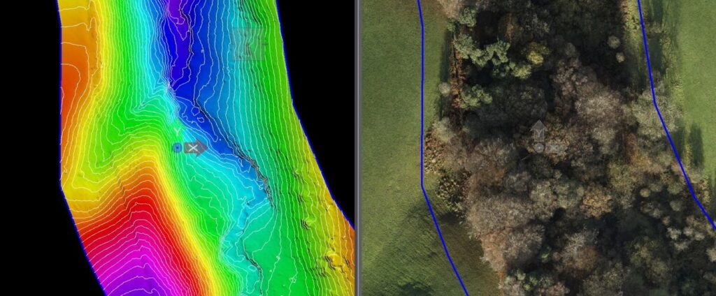
The image above shows the main benefit of UAV LiDAR, the image on the left shows the DTM derived from drone LiDAR with the right image showing the tree coverage on this site. One of the most useful features of UAV LiDAR is how the laser based sensors can capture data representing ground terrain through trees and vegetation. Enabling surveys for planning, design, topography and hydrology to be conducted through these environments without any ground clearance necessary.

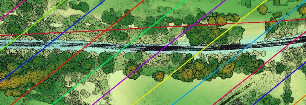
The above shows a typical LiDAR dataset, with a fully calibrated, strip aligned cloud ready for the vegetation to be removed to measure the embankments around this railway asset.
